OUR SERVICES
Ground Penetrating Radar Surveys
We see what lies beneath, without breaking the surface. Non-destructive GPR surveys for utility locating, concrete scanning and subsurface investigation across South Africa.
SERVICE OVERVIEW
Ground Penetrating Radar (GPR) Surveys
Ground penetrating radar (GPR) is the core technology behind everything we do. It is a non-destructive geophysical survey method that lets us see beneath the surface — through soil, rock, concrete and pavement — without a single excavation.
At Absolute GPR, we use it to locate underground utilities, scan concrete structures, map buried features and investigate subsurface conditions, giving engineers, contractors and asset owners reliable answers before they commit to breaking ground.
What Is Ground Penetrating Radar?
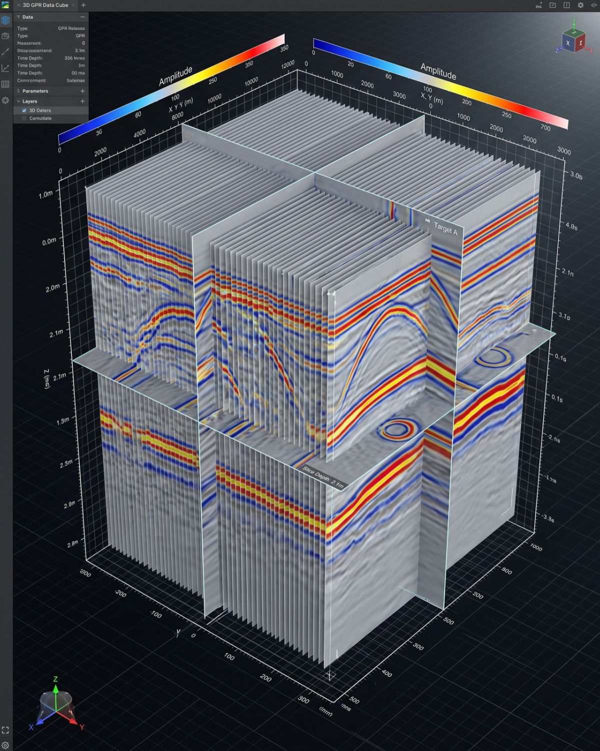
GPR works by transmitting short pulses of high-frequency radio waves into the ground or structure through an antenna. When those waves meet a boundary between materials of different electrical properties — the edge of a pipe, a steel bar, a void, a change in soil — part of the signal reflects back to the antenna.
By measuring the time each reflection takes to return and moving the antenna across the surface, we build a cross-sectional image of what lies below. In short: GPR reads the echoes of buried objects and turns them into a picture.
AT A GLANCE
Method
High-frequency radar pulses — fully non-destructive, no excavation required
Depth Range
A few centimetres up to several metres depending on antenna & ground conditions
Materials Detected
Metallic & non-metallic pipes, rebar, conduits, cables, voids, tanks and more
Deliverables
Marked surface positions, written report, CAD/GIS data where specified
STEP BY STEP
How a GPR Survey Works
A structured, professional process from initial scoping through to final data delivery.
01
Scope & Site Review
We confirm the target — utilities, rebar, voids, depth of cover — and the deliverable you need before mobilising.
02
Antenna Selection
We match antenna frequency to the job — lower frequencies reach deeper, higher frequencies resolve finer detail near the surface.
03
Data Capture
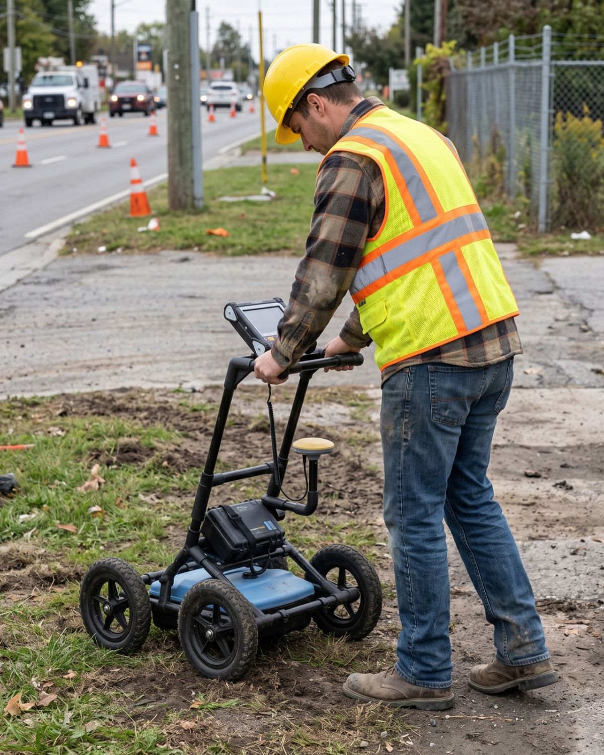
The technician moves the GPR unit across the survey area in a controlled grid to capture full, consistent coverage.
04
Interpretation
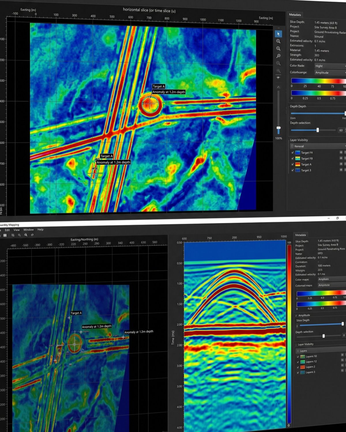
Reflections are interpreted on site and, where required, processed to confirm the depths and positions of buried features.
05
Marking & Reporting
Findings are marked on the surface and delivered as a report, with survey-grade positions and CAD/GIS data where specified.
APPLICATIONS
What GPR Is Used For
GPR is a versatile technology applied across a broad range of investigation types. Our teams deploy it wherever engineers, contractors and asset owners need reliable subsurface data without excavation.
- Utility Locating & Mapping
- Concrete Scanning
- Void & Anomaly Detection
- Depth & Thickness Estimation
- Pre-Excavation Clearance
- Pre-Drilling Clearance
- Sinkhole Investigation
- Subsurface Asset Records
Why Choose GPR
The Advantages of GPR
GPR delivers what no other single method can — a complete, real-time picture of what lies beneath, without touching the surface.
Completely Non-Destructive
No test pits, no service interruptions, no damage to the surface or structure. GPR investigates without disturbing what it scans.
Detects All Pipe Materials
GPR detects metallic and non-metallic utilities — including PVC and HDPE — that electromagnetic methods simply cannot locate on their own.
Fast & Real-Time
Results are available on site immediately. GPR is fast, repeatable and can be deployed on large areas in a fraction of the time of traditional methods.
Defensible Record
GPR produces a documented, auditable dataset you can hand to designers, asset owners and safety officers as evidence of due diligence.
Complementary to EML
Used alongside electromagnetic locating, GPR gives the most complete subsurface picture available — covering materials and depths neither method captures alone.
Safer Excavation
Accurate pre-excavation data directly reduces the risk of utility strikes, unplanned downtime and costly on-site incidents.
Honest Expectations
Understanding GPR's Limits
Honest expectations make for better projects. GPR performance depends on ground conditions: highly conductive clay soils and saturated ground absorb the signal and reduce depth of penetration, while dry sand and concrete allow deeper, clearer results.
Very small or very deep targets can be harder to resolve. That’s why we combine GPR with complementary methods where needed — and tell you plainly what a survey can and cannot confirm on your specific site.
Ground penetrating radar (GPR) is the core technology behind everything we do. It is a non-destructive geophysical survey method that lets us see beneath the surface — through soil, rock, concrete and pavement — without a single excavation.
Who We Work With
Industries & Applications
Each project is scoped to the sector’s standards and the decisions the data has to support.
Construction & Civil
Consulting Engineers
Municipalities
Property Developers
Industrial Facilities
Commercial Property
Common Questions
Frequently Asked Questions
Everything you need to know about ground penetrating radar surveys.
What is ground penetrating radar and how does it work?
GPR sends high-frequency radar pulses into the ground or a structure. Buried objects and material boundaries reflect part of the signal back to an antenna, and the timing of those reflections is interpreted into a subsurface image — all without any excavation.
How deep can ground penetrating radar go?
Typically from a few centimetres up to several metres. The exact depth depends on the antenna frequency and the ground: dry, sandy or rocky soils allow deeper penetration, while wet clay soils limit it. We select the right antenna for your target depth on every job.
What can GPR detect?
Metallic and non-metallic pipes, electrical and fibre cables, rebar and post-tension cables in concrete, conduits, voids, tanks, and changes in material such as slab thickness — essentially anything with a meaningful contrast to the surrounding material.
How much does a GPR survey cost?
Cost depends on site size, access and the deliverable required. Because every project is scoped individually, the best way to get an accurate figure is to contact us with your site details for a quick quote.
Is GPR safe?
Yes. GPR emits very low-power radio waves, is safe to use around people, and is completely non-destructive to the surface and structures being scanned.
EXPLORE MORE
Related Services
Often combined with GPR for a more complete picture of what lies below.
Utility Locating & Mapping
EML detection combined with GPR for the most complete multi-material utility survey available on the market.
Concrete Scanning
GPR scanning of slabs to locate rebar, post-tension cables, conduits and voids before drilling, coring or cutting.
CCTV Crawler Inspections
Internal pipeline condition assessment to complement your subsurface utility investigation programme.
Ready to Map What's Below?
Contact our team to discuss your site and receive a detailed, no-obligation quote within 24 hours.