OUR SERVICES
Utility Locating & mapping
Know exactly what’s below before you dig. We combine GPR and electromagnetic locating to detect, trace and map buried services, giving you accurate, survey-grade data and zero-strike confidence.
SERVICE OVERVIEW
Utility Locating & Mapping
Utility locating and mapping is the process of detecting, identifying, tracing and marking underground utilities so you can excavate safely and plan accurately.
Absolute GPR combines ground penetrating radar with electromagnetic locating and survey-grade positioning to map buried services with confidence — giving construction, maintenance and asset-management teams reliable spatial data before the first spade goes in.
Whether you call it utility locating, an underground utility survey or subsurface utility mapping, the outcome is the same: certainty about what’s below.
Why Utility Locating Matters
Underground networks are crowded, ageing and often poorly recorded. Existing as-built drawings are frequently incomplete or inaccurate, and a single unrecorded service can stop a project. Accurate locating prevents utility strikes and the injuries, service outages, emergency repairs and programme delays that follow — making it one of the lowest-cost, highest-value steps in the entire construction lifecycle.
Our Methodology
How We Locate Underground Utilities
No single method finds everything. We layer complementary technologies so nothing gets missed.
Ground Penetrating Radar (GPR)
GPR images the subsurface directly, picking up non-conductive services such as PVC and HDPE pipes that electromagnetic methods alone would miss. Essential for complete utility coverage on any site.
Electromagnetic Locating (EML)
EML traces conductive services — metallic pipes and live or accessible cables — and can induce a traceable signal directly onto a line to follow its exact route across the site.
Survey-Grade Positioning
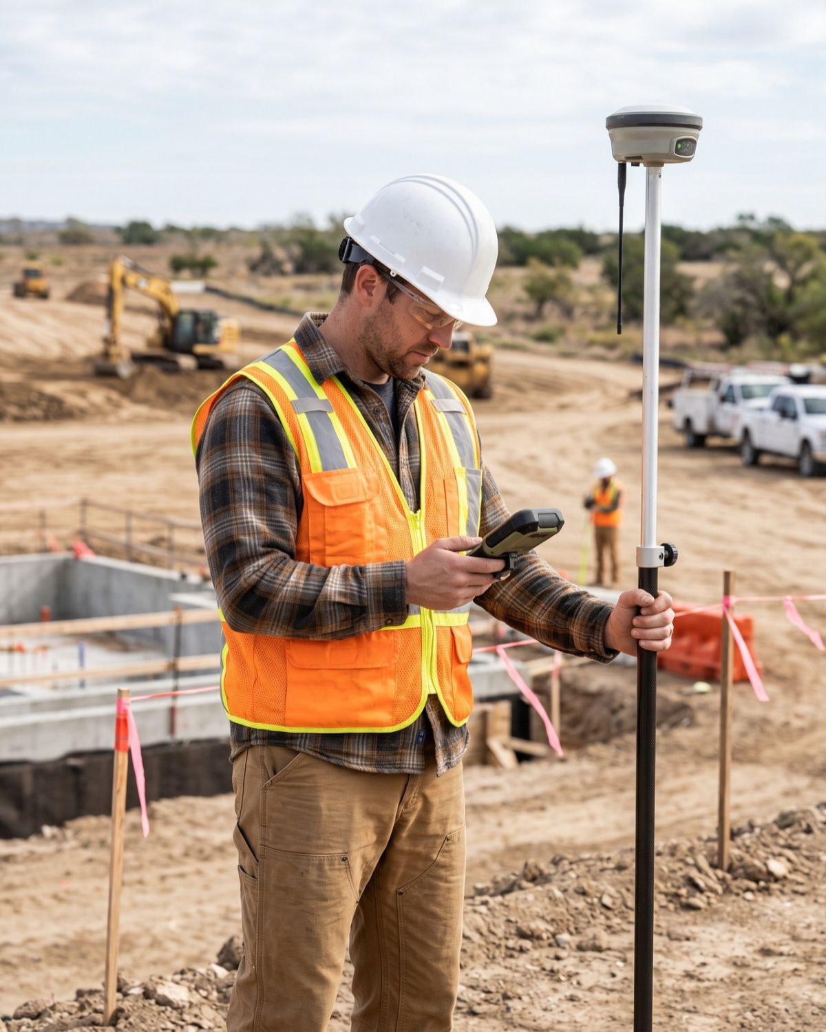
Located services are surveyed with GPS or Total Station so positions are captured accurately, delivered as reusable records and integrated directly into your CAD and GIS systems.
Services Include
-
Ground Penetrating Radar (GPR)Subsurface imaging of metallic and non-metallic services
-
Electromagnetic Locating (EML)Tracing of conductive pipes and cables
-
Underground Utility TracingFollowing a line across a site to map its full route
-
Depth & Direction EstimationUnderstanding not just where a service is, but how deep and which way it runs
-
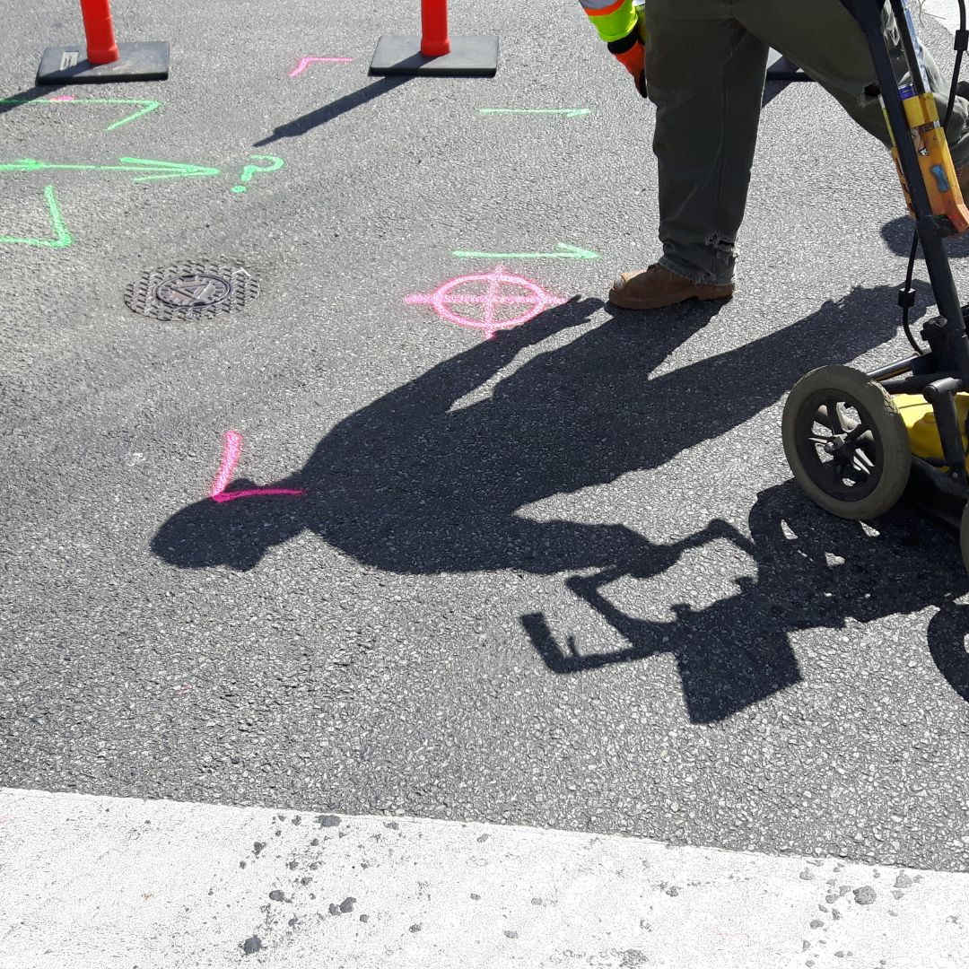
Utility MarkingClear, standardised on-site marking for the excavation team
-
GPS / Total Station SurveySurvey-grade positioning of all located services
-
CAD & GIS DeliverablesRecords that integrate directly into design and asset-management systems
Utilities We Detect
Water Services
Sewer & Stormwater
Electrical & Comms
Other Services
Where a service is non-conductive and untraceable by EML, GPR gives us the means to detect it — including PVC, HDPE and other plastic pipework that electromagnetic methods cannot locate independently.
What You Receive
Your Deliverables
Depending on scope, we provide a full set of survey deliverables. These are living records that support planning, design, construction and long-term asset management — reducing the cost and risk of every future project on the site.
On-Site Marking
Clear, standardised utility marking applied to the surface for the excavation team to work safely from.
Utility Survey Report
Written summary of located services, methodology, limitations and key observations from the survey.
Surveyed Utility Positions
GPS or Total Station-captured positions of all located services, with depth and direction data where applicable.
CAD Drawings
Plan drawings showing surveyed utility positions ready for issue to designers and project teams.
GIS-Compatible Data
Spatial data files that integrate directly into your asset-management and GIS systems for long-term use.
Why It Matters
KEY BENEFITS
Utility locating is one of the lowest-cost, highest-value steps in the entire construction lifecycle.
Prevent Utility Strikes
Avoid injuries, service outages, costly emergency repairs and the programme delays that follow an unplanned utility hit
Reduce Excavation Risk
Accurate subsurface data keeps your excavation programme on track and your team working safely from the start.
Improve Planning & Design
Design around what’s actually there, not what the as-built drawings say. Real data prevents costly mid-project design changes.
Create Accurate Records
Surveyed utility records outlive the current project — reducing cost and risk on every future project on the same site.
WHO WE WORK WITH
Each survey is scoped to the standard and decision it has to support.
Civil & Construction Contractors
Consulting Engineers
Municipalities
Property Developers
Industrial Facilities
Common Questions
Frequently Asked Questions
How do you locate underground utilities?
We use Electromagnetic Locating (ELM) to detect conductive pipes and cables, and Ground Penetrating Radar (GPR) to identify both metallic and non-metallic underground services. Combining these technologies helps us locate utilities, estimate their depth and map their positions before excavation.
What is a utility locator?
A utility locator is a trained specialist who uses GPR and electromagnetic equipment to detect and map buried services before excavation. It's also the name for the equipment itself — the technician and the tool share the same title.
Can you find plastic (non-metallic) pipes?
Yes. There are several ways to locate nonmetallic water pipes, of which the GPR is the least invasive method.
Do you provide CAD or GIS records?
Yes. We can deliver surveyed utility positions as CAD drawings and GIS-compatible data so the information integrates with your design and asset-management systems and remains a useful, reusable record long after the project is complete.
EXPLORE MORE
Related Services
Often used in combination with utility locating for a more complete subsurface dataset.
Ground Penetrating Radar (GPR)
The core technology behind our utility surveys — non-destructive subsurface imaging of both metallic and non-metallic buried features.
Concrete Scanning
GPR scanning of slabs and structures to locate rebar, post-tension cables, conduits and voids before drilling, coring or cutting.
Ready to Map What's Below?
Tell us about your site and we’ll scope a utility survey to match your project’s needs and timescale.